Black Bear Pass

Difficult Trail With Views
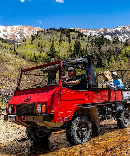
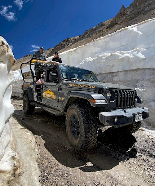
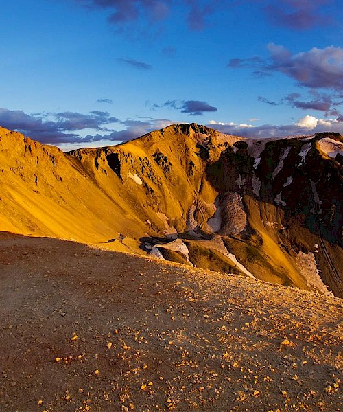
Black Bear Road is a notorious jeep trail that starts from the 11,018-foot (3,358 m) summit of Red Mountain Pass on U.S. Highway 550 (between Ouray and Silverton) to Telluride. The Black Bear Road crests at Black Bear Pass, elevation 12,840 feet (3,910 m). The road descends over a set of infamous switchbacks as it navigates the heights above Telluride. The road passes Bridal Veil Falls, Colorado, the highest waterfall in Colorado and is a one-way road down from the top of the pass to Bridal Veil Falls. From there, it is a two-way road down to the Town of Telluride. The trail/road can be hiked, biked or jeeped.
This route offers dramatic landscapes and very narrow passageways. For experienced drivers with 4x4 and high clearance only. Rental cars are not permitted on this road.
Please click here for the latest on road conditions.
Directions
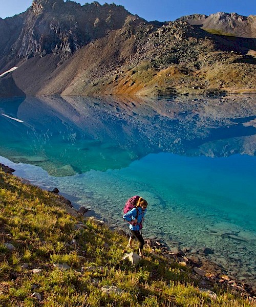
The road starts from State Highway 550 at Red Mountain Pass (signed as Forest Road #823) and climbs quickly to Black Bear Pass at 3.2 miles. There is ample room for parking at the Pass where there are views into Ingram Basin. The road then descends into Ingram Basin, past Ingram Lake and the Black Bear Mine. At approx. 5.6 miles the road begins descending the "Steps" which are comprised of a series of steep, technical rock steps. From this point down to the Bridal Veil Powerplant (approx 1 mile), the road is one-way only. Once down the "Steps", the road continues past Ingram Falls, making extremely tight, narrow switchbacks until it reaches the Bridal Veil Falls Powerplant.
